Location & directions
Where city access meets open ridge air.
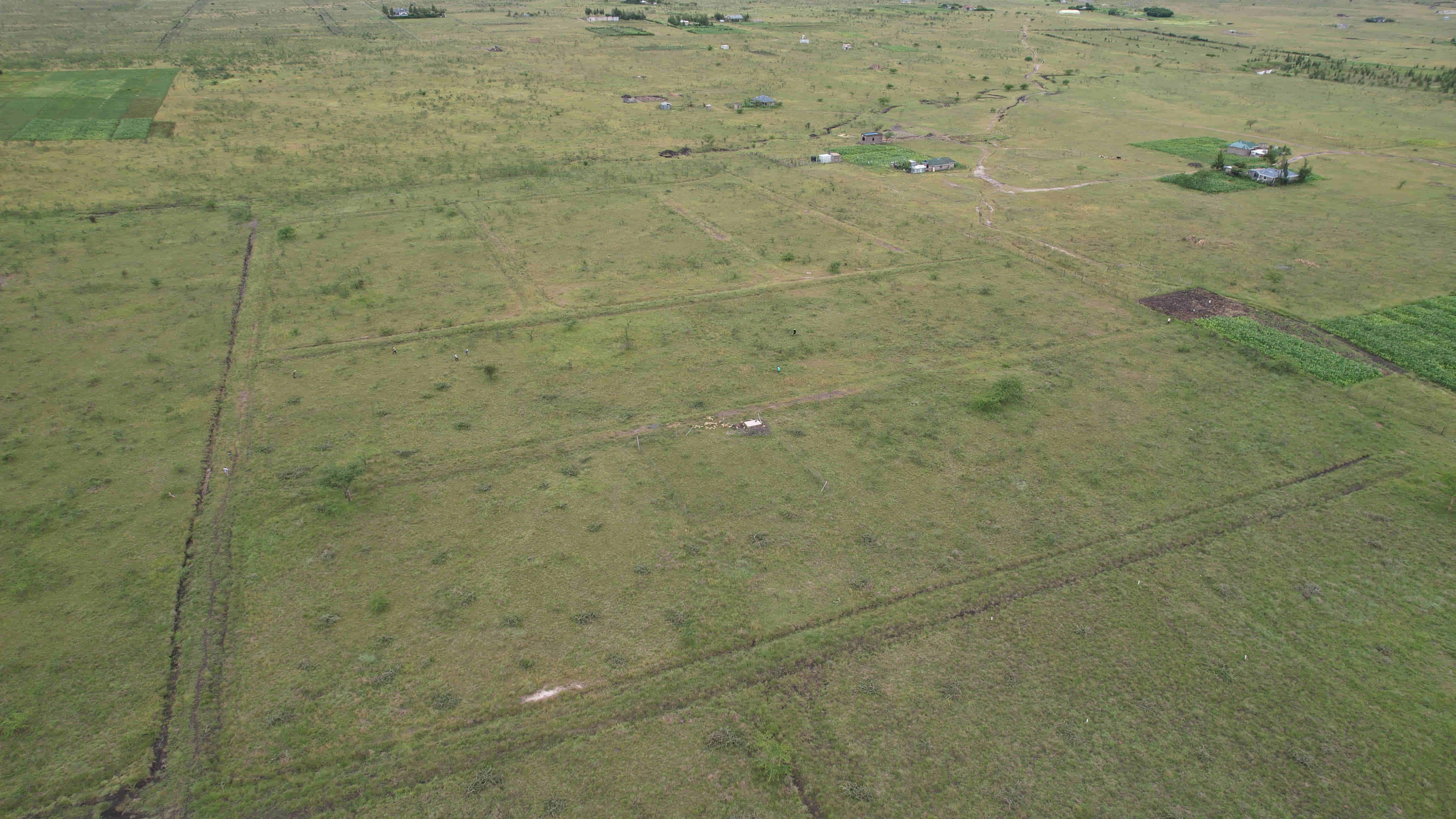
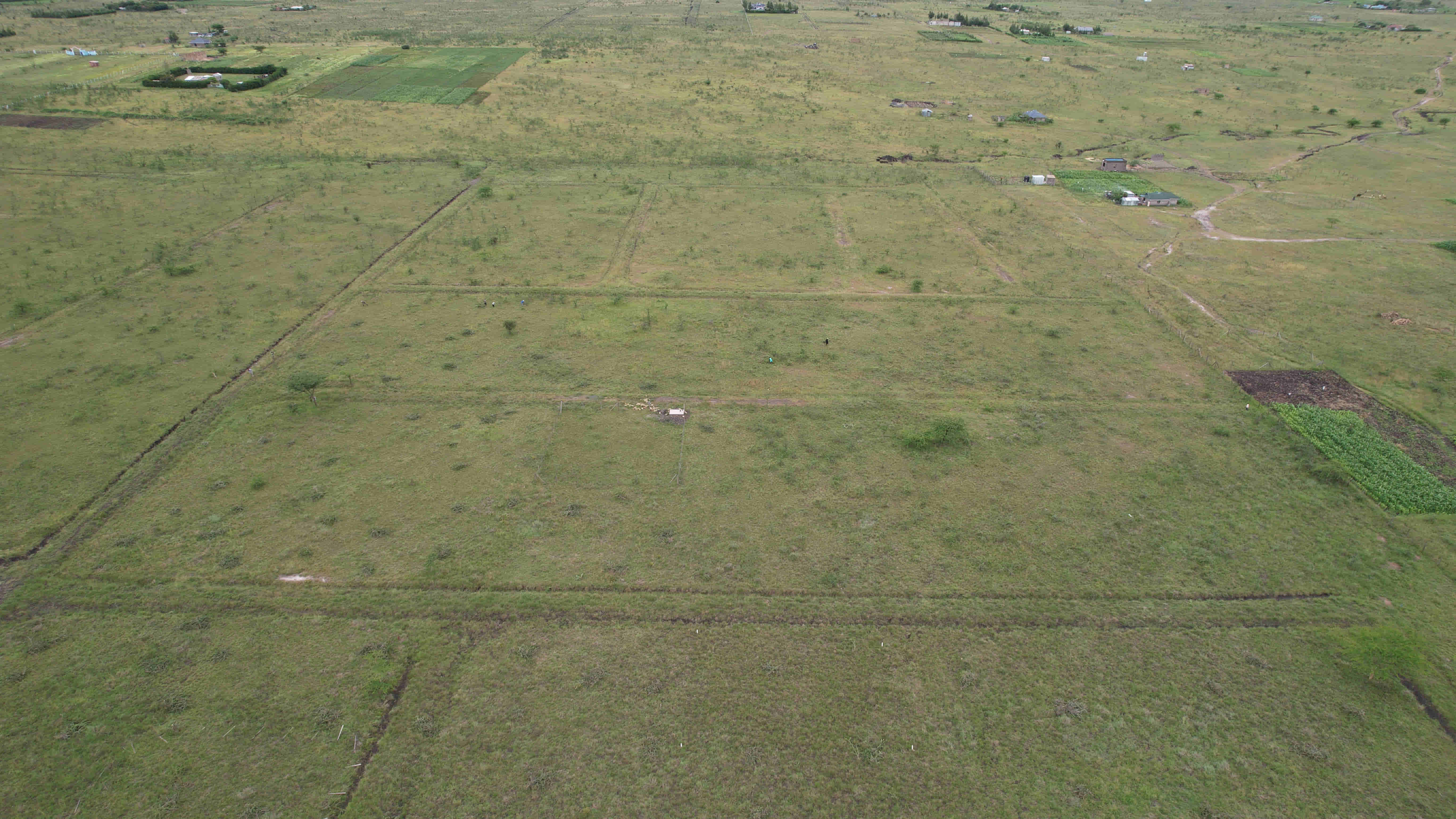
Acacia Ridge sits in Komarock, Kantafu on the Kangundo Road belt — tarmac to the main access, and a 40-minute line to Nairobi CBD.
Acacia Ridge
You're here
Interactive map
Open the site plan
Hover the chips. See the times.
Every callout shows real drive times from Acacia Ridge to where you need to be.
1 hrNairobi CBD
25 minThika Town
< 1 kmSchools & shops
From Acacia Ridge to anywhere you need.
Thika Town
JKIA Airport
Kangundo Road
Ruai
Komarock Estate
A neighbourhood, not a field.
< 1 km
Primary schools
Within 1 km along the access road.
< 1 km
Shopping centres
Local duka + Thika retail 25 min away.
< 5 km
Health facilities
Community clinic nearby, hospital in Thika.
< 1 km
Church & mosque
Community zoning reserves a church plot.
On-site
Grid power
Kenya Power lines along the access road.
On-site
Piped water
Community water scheme reaches the estate.
Getting here
Two easy routes.
-
Via Kangundo Road
Eastern Bypass → Kangundo Road → Kantafu → turn into the Apstar Acacia Ridge access road. Good tarmac the whole way.
Most common -
Via Komarock / Ruai
Outer Ring Road → Komarock → Kayole → join Kangundo Road at Kantafu. Handy for buyers coming from the eastern suburbs.
Alternative
 Komarock, Kantafu
Come see for yourself
Book a site visit — we'll drive.
Pickup from Ukulima Cooperative House and back at KES 1,000. Lunch on site with the team.
